Arriving by air
Almost every visitor arrives at Cheddi Jagan International Airport (GEO), at Timehri, about 40 km south of Georgetown — allow around an hour by road, more in traffic. Direct flights have linked it with North American cities such as New York, Miami and Toronto, with Caribbean hubs including Port of Spain and Barbados, with Panama City, and with Europe by way of the Caribbean. Airlines and routes change often; check current schedules rather than relying on any list.
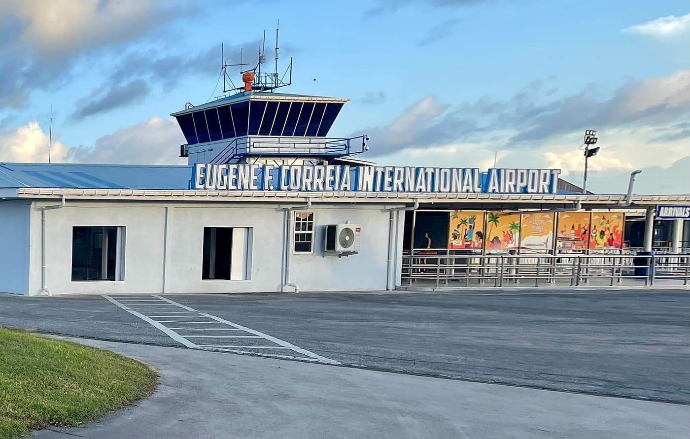
The second airport, Eugene F. Correia International (OGL), is at Ogle on the eastern edge of the city, about 15–20 minutes from most hotels. It handles domestic flights to the interior, Kaieteur day trips and some regional services, for example to Suriname and nearby islands.
| Cheddi Jagan (GEO) | Eugene F. Correia / Ogle (OGL) | |
|---|---|---|
| Where | Timehri, about 40 km south of Georgetown | Ogle, on the city’s eastern edge |
| Used for | Long-haul and most international flights | Domestic flights, Kaieteur trips, some regional flights |
| To the city | About 1 hour by taxi or pre-booked transfer | 15–20 minutes by taxi |
| Watch out for | Late-night arrivals; agree the fare or pre-book | Turning up at the wrong airport — check your ticket |
Transfers: official airport taxis and hotel cars meet flights at Cheddi Jagan; fares to Georgetown are normally fixed, commonly somewhere around US$30–40, but confirm before you set off. Pre-booked transfers are listed on our tours page. Allow at least an hour and a half between the two airports.
Flying inside Guyana
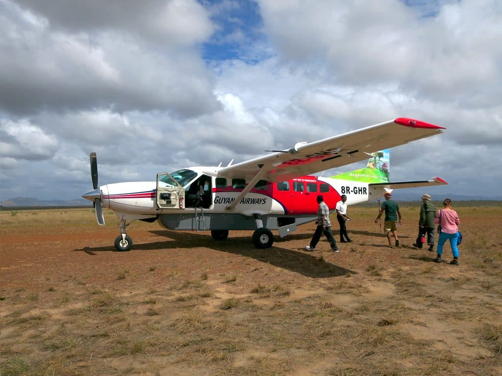
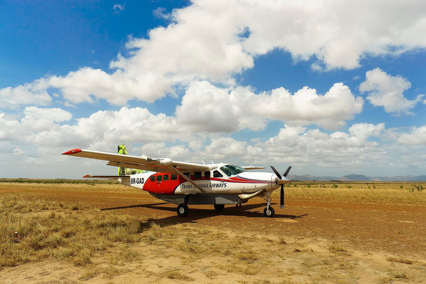
Scheduled domestic flights are operated by a few local airlines using small aircraft — typically single-engine Cessna Caravans and twin-engine Islanders — from Ogle to airstrips including Lethem, Annai, Karanambu, Mabaruma, Bartica and Kaieteur. Things to know:
- Strict baggage limits. The allowance is often around 20 lb (9 kg) per person including hand luggage; excess is charged per pound and may travel on a later flight. Passengers are weighed with their bags at check-in.
- Soft bags. Pack in a soft duffel; rigid suitcases do not fit small cargo pods. Leave surplus luggage at your Georgetown hotel.
- Visual flying. Flights operate in daylight and good visibility, so rain can delay or cancel them. Never plan a same-day international connection.
- Flexible stops. A flight may call at several airstrips; seats to lodge strips are usually booked by the lodge or operator.
- Charters. Groups often charter an aircraft, which can be economical when the cost is split between a full load of passengers.
By road
The coast has a paved road from Charity in the west to Corriverton on the Suriname border, with bridges over the Demerara and Berbice rivers and a ferry-and-speedboat crossing of the Essequibo. A paved highway runs inland to Linden.
South of Linden begins the Georgetown–Lethem trail: roughly 450 km of mostly unpaved laterite through forest and savannah to the Brazilian border, crossing the Essequibo at Kurupukari. Paving and bridge works have been under way in stages for some years, so conditions change. In the dry season the journey takes anything from 12 to 18 hours; in the rains it can take far longer, and sections may close.
- Minibuses and buses run between Georgetown and Lethem most days, usually leaving in the evening and travelling through the night. Fares are a fraction of the air fare. Expect a cramped, bumpy ride and police checkpoints where you show your passport.
- 4x4 with driver is how most lodge transfers are done. It is costly, because fuel and vehicle wear are high, but lets you stop for wildlife.
- Self-drive is possible with a hired 4x4 and experience of rough roads. Driving is on the left. We do not recommend it for a first visit.
On the coast, numbered minibuses leave from parks around Stabroek Market for every town; they are cheap, frequent and fast — sometimes alarmingly so. Taxis are inexpensive; use a recognised company and agree the fare before you get in.
By river
Rivers are roads here. Speedboats run from Parika to Bartica in about an hour and across the Essequibo mouth to Supenaam; life jackets are provided and should be worn. Slow government ferries link Parika with the river islands and Georgetown with the north-west, a journey of around a day. In the interior, lodge boats are the only way to reach places such as Rewa and Karanambu for part of the year, and trips can be long — bring sun protection and a waterproof bag.
Why most visitors use a local operator
None of this is difficult, but it is interlocking. A lodge stay depends on a flight, which depends on passenger numbers, which connects to a boat that the lodge must send. Local operators and the lodges themselves deal with those links every day, and can re-arrange them when the weather changes. For a short interior trip, a package is usually the least stressful and not necessarily the dearest way to go. Independent travel is most rewarding on the coast and for travellers with time to spare.
Onward to Suriname
The crossing is by vehicle ferry over the Corentyne River from Moleson Creek, beyond Corriverton, to South Drain in Suriname, normally once or twice a day. From Georgetown it is three to four hours by road to the ferry; shared minibuses sell door-to-door tickets to Paramaribo, and the whole trip takes most of a day. Suriname has required visitors to pay an entry fee or obtain a visa or e-visa online in advance, depending on nationality — check before you travel. Small aircraft also fly between Ogle and Paramaribo. See Berbice & Corentyne.
Onward to Brazil
At Lethem the Takutu River bridge leads to Bonfim, where traffic switches from the left to the right. Complete Guyanese exit formalities in Lethem and Brazilian entry at the Bonfim post; shared taxis and buses continue to Boa Vista in about an hour and a half to two hours, with onward buses and flights to Manaus. A yellow fever certificate is commonly asked for at this border.
Venezuela
There is no regular official crossing for travellers between Guyana and Venezuela, and governments advise against travel to the border area. Do not plan to enter or leave by that route.