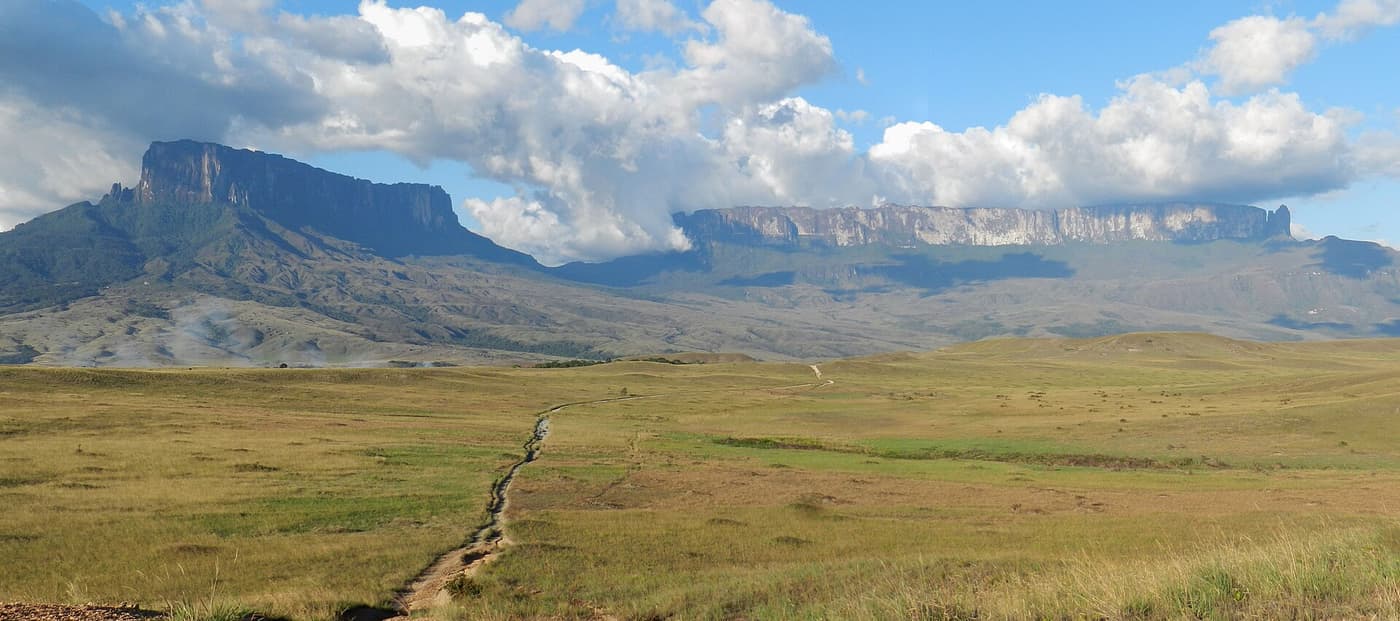
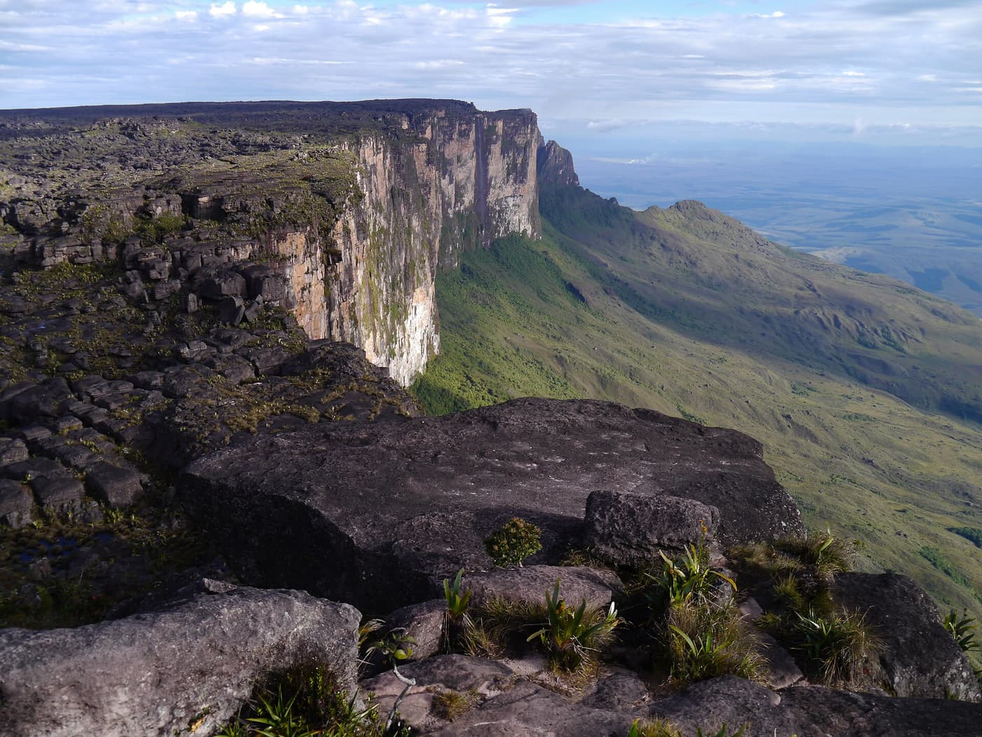
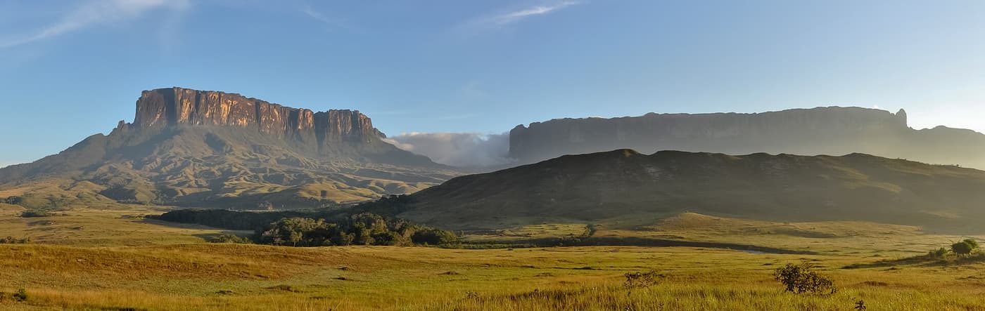
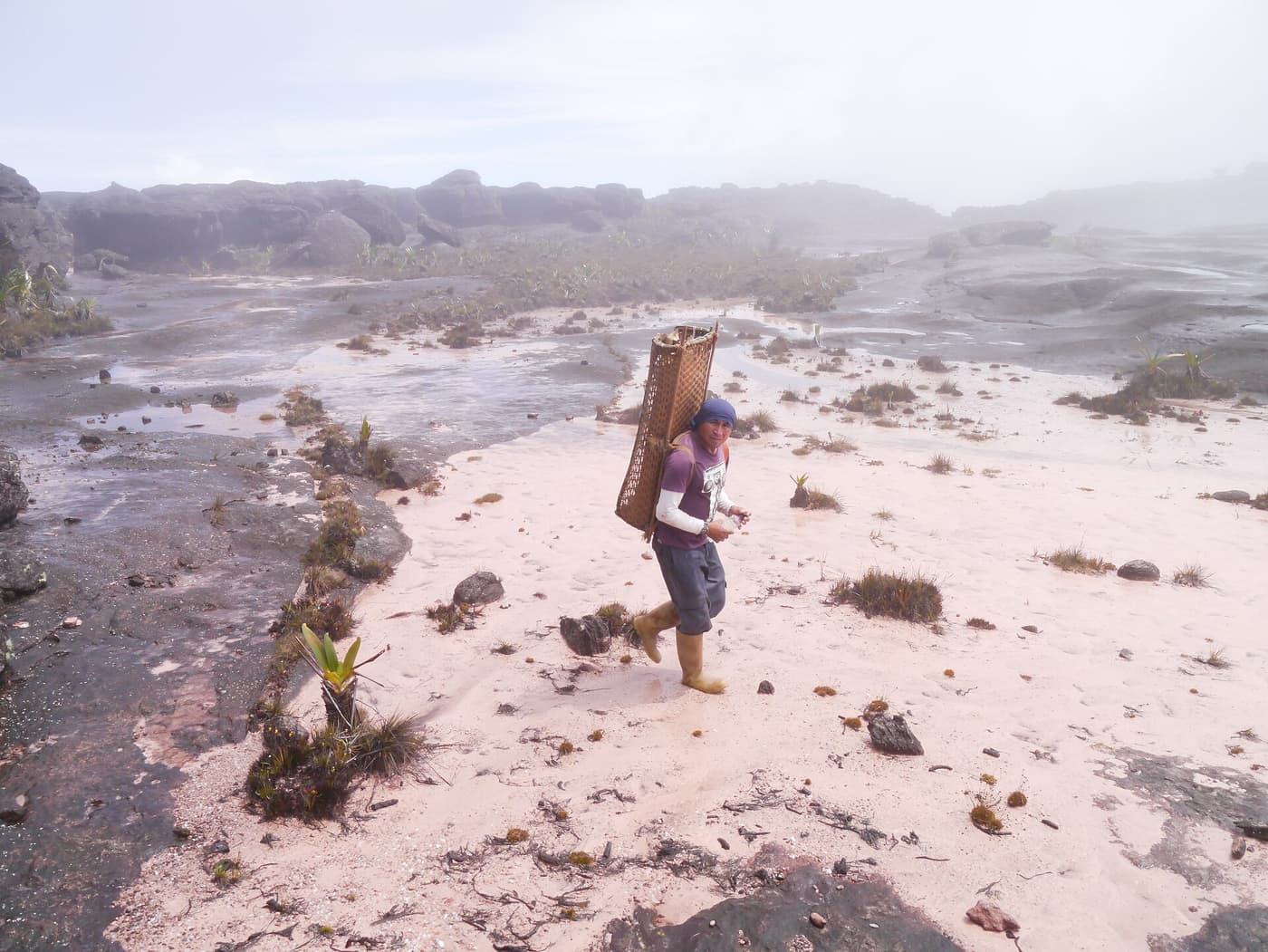
Roraima is a tepui: a block of ancient sandstone, some of the oldest exposed rock on Earth, left standing as the land around it eroded away. Its summit plateau, about 2,800 metres above sea level and ringed by cliffs up to 400 metres high, is a strange world of black rock, pools, crystals and plants found nowhere else. Reports of it helped to inspire Arthur Conan Doyle’s novel The Lost World.
The borders of three countries meet on the plateau. Most of the mountain, and the only walking route to the top — a ramp up the south-western cliffs, first climbed in 1884 — is in Venezuela. Guyana’s share is the dramatic northern prow, a towering overhanging buttress above unbroken cloud forest. It was first climbed in 1973 by a British expedition after weeks of effort, and has been repeated only a handful of times. The country’s highest point lies on this part of the plateau.
We include Roraima because it is part of Guyana’s story and many travellers ask about it. But be clear: there is no tourist trek to the summit from Guyana. What is possible from the Guyanese side is an expedition-style journey towards the mountain through the villages of the upper Mazaruni, or a view from the air.
Highlights
- Seeing the prow of Roraima emerge from cloud
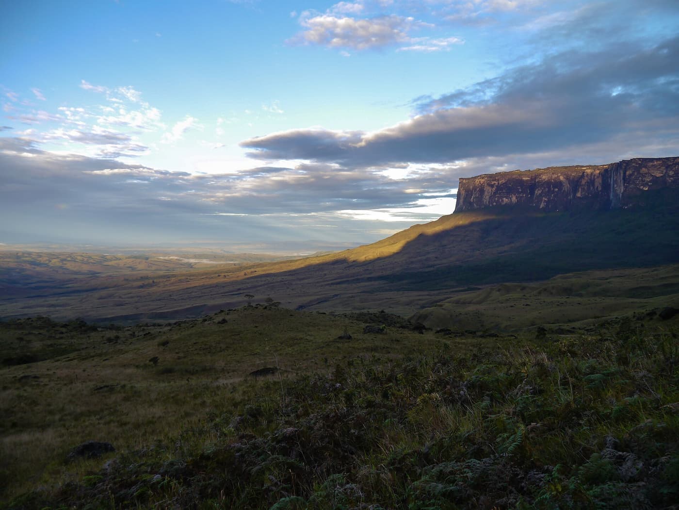
- The tepui landscape of the Pakaraima Mountains
- Akawaio and Arecuna villages of the upper Mazaruni
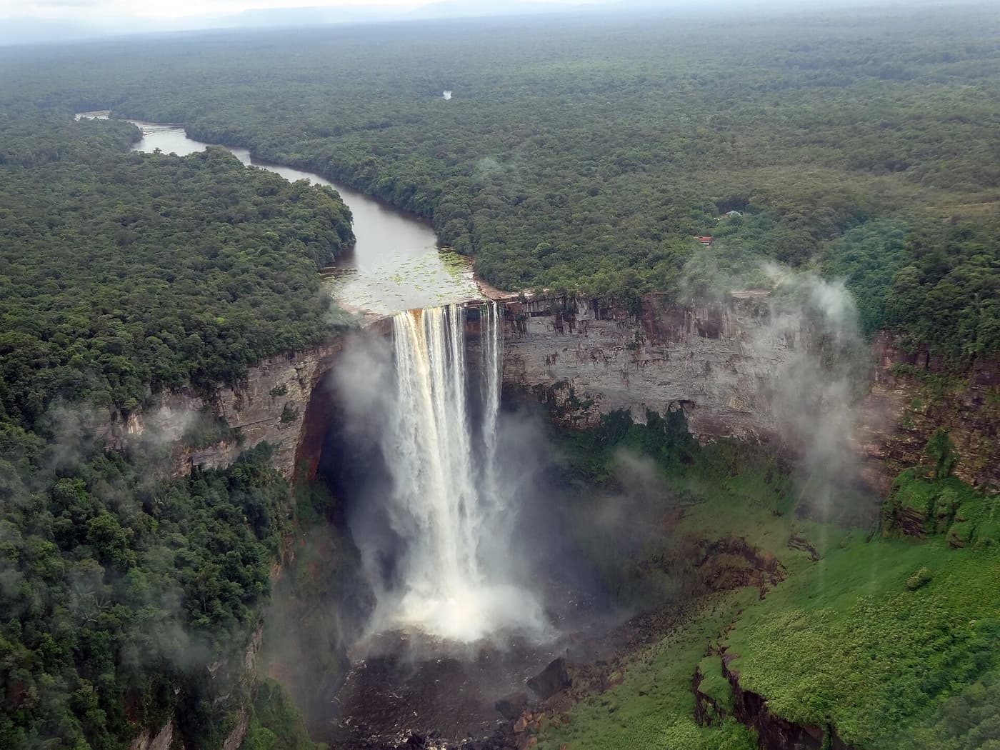
- Flying over tabletop mountains and nameless waterfalls
- The summit plateau — by the walking route from Venezuela or Brazil
How long to stay
An overland expedition to the foot of Roraima from the Guyanese side takes ten days to two weeks from Georgetown. A scenic flight takes half a day.
Best base
Expeditions stage through Georgetown and the airstrip villages of the upper Mazaruni, such as Kamarang and Phillipai. There are no lodges; nights are in village guesthouses and hammock camps.