This is some of the least visited country in South America. Nothing here has signs, tickets or opening hours.
1 The prow and the northern cliffs
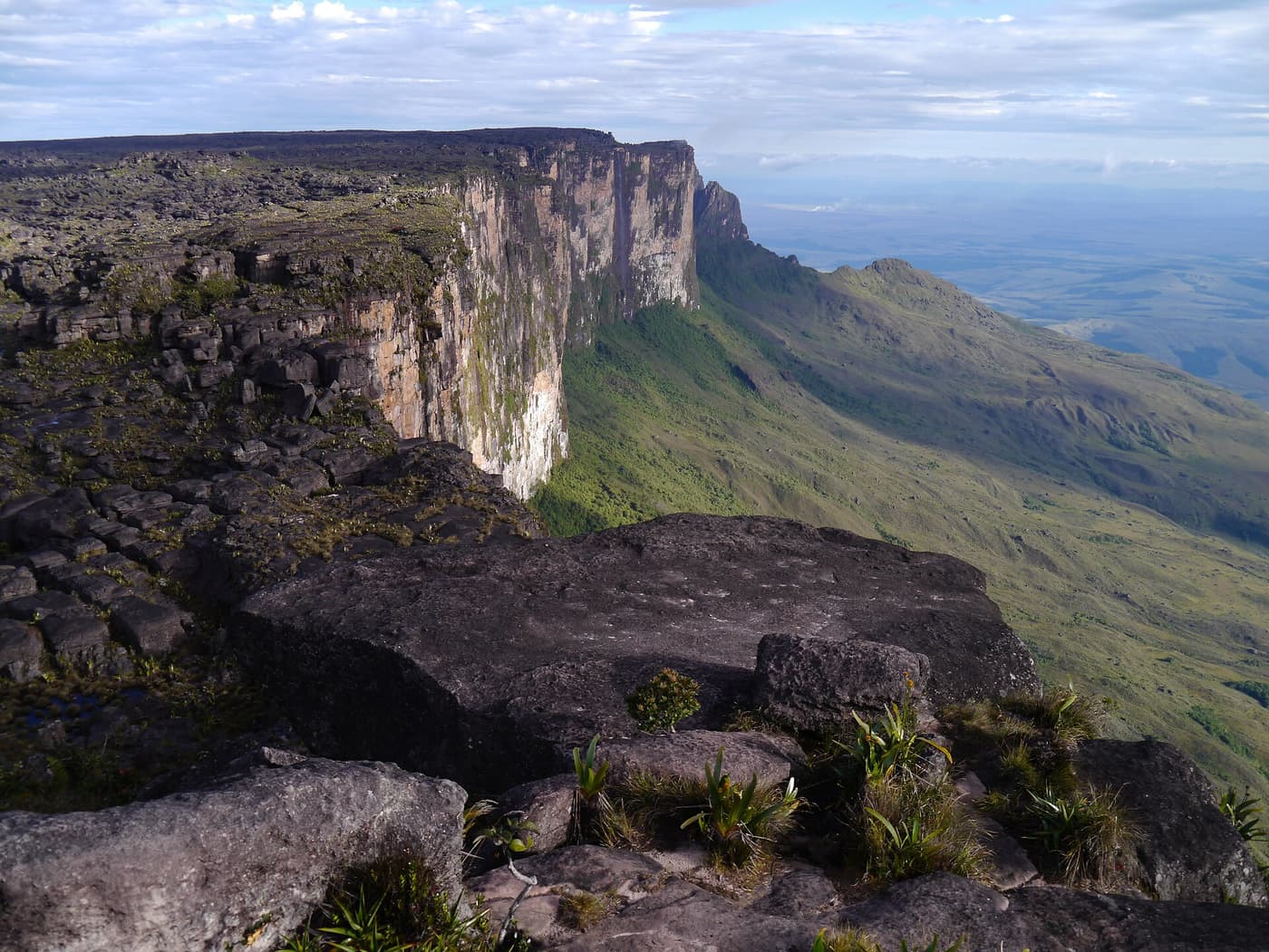
Roraima’s northern end narrows to a point like the bow of a ship, dropping in overhanging walls to forest far below. Waterfalls spill from the rim after rain and are blown away as mist. From the forest ridges to the north, on a clear morning, the whole face is visible.
Practical: Reached only by multi-day expedition, or seen from a charter flight.
2 The summit plateau
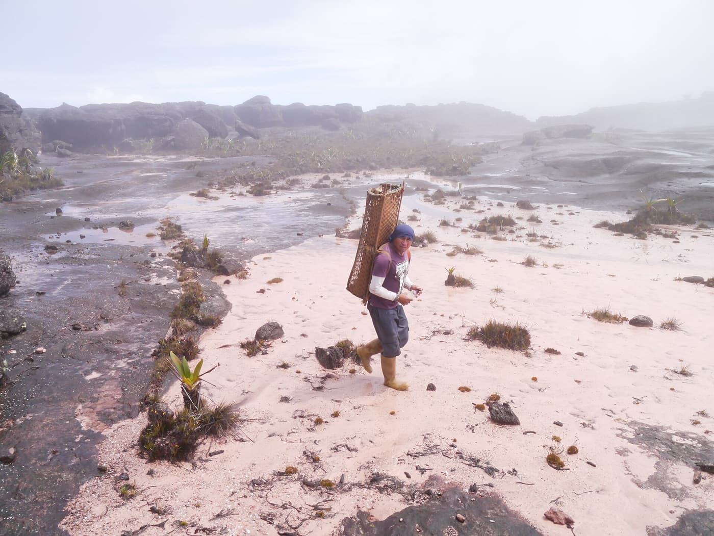
A rain-washed surface of black, sculpted sandstone with gullies, bogs, quartz crystals and carnivorous plants. The point where the three countries meet is marked by a small pyramid. Guyana’s part of the plateau is seldom visited even by those who trek up from Venezuela.
Practical: Accessible to walkers only from the Venezuelan side.
3 Tepui country
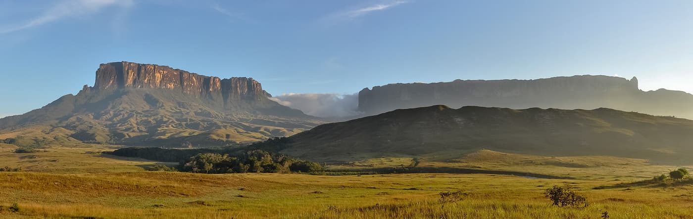
Roraima is one of a chain of table mountains along the watershed, including its twin Kukenán in Venezuela. On the Guyanese side the Pakaraimas roll away in forested ridges cut by rivers stained red by tannin, with Mount Ayanganna and other flat-topped summits to the east.
Practical: Best appreciated from the air or from high ground near the villages.
4 Villages of the upper Mazaruni
Akawaio and Arecuna communities such as Kamarang, Phillipai and Waramadong live along the rivers below the mountain, which holds an important place in their traditions. Visitors are rare and must come by arrangement with the village council.
Practical: Access by small aircraft and boat. Permission required.
5 Scenic flights
A chartered light aircraft from Ogle can fly west over the Mazaruni to the edge of the tepuis. On a good day the pilot can circle within sight of Roraima’s cliffs; on many days cloud covers the summit entirely.
Practical: Charter cost is for the whole aircraft; no refund for cloud. Early morning gives the best chance.