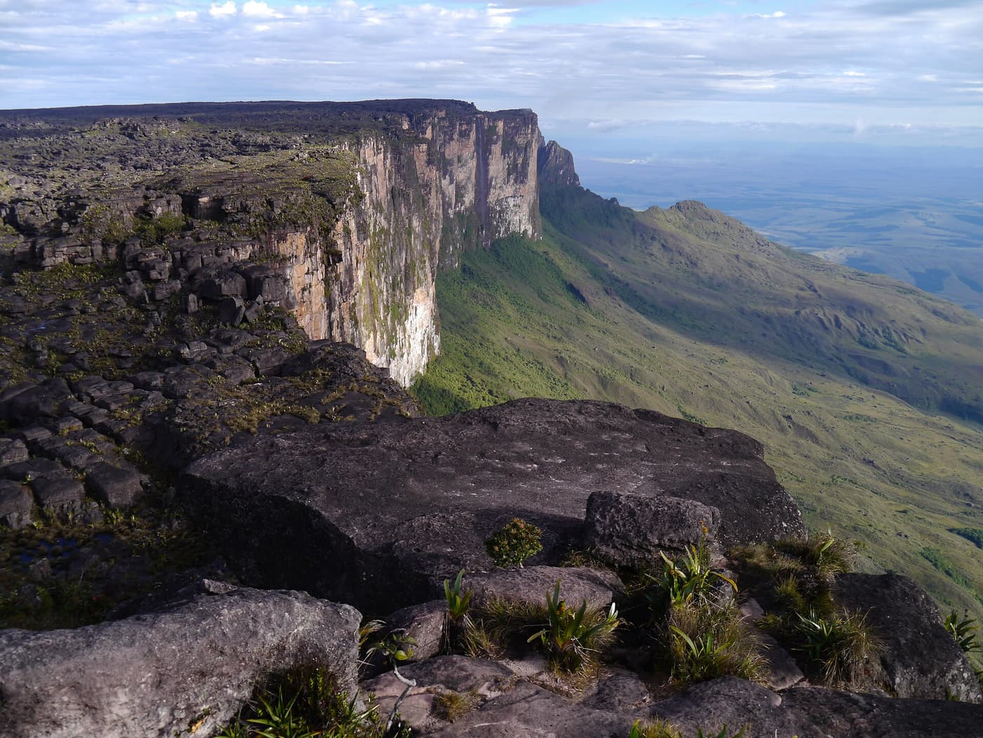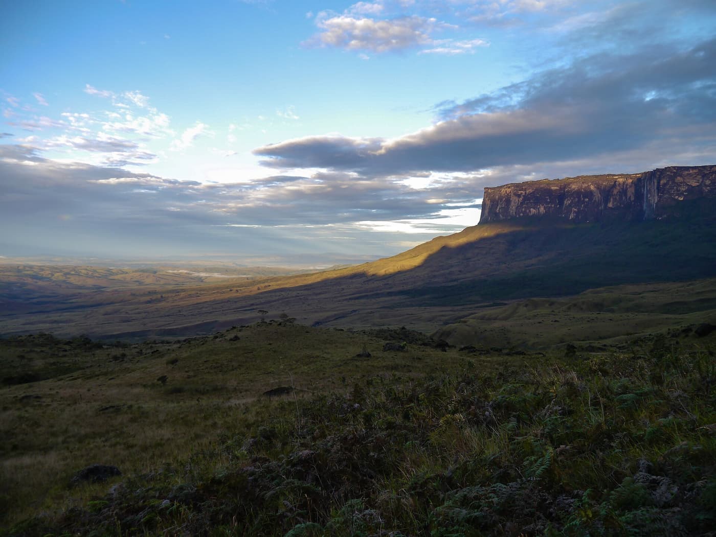
No road goes anywhere near Roraima in Guyana. Every approach combines a flight to a remote airstrip with boats and days on foot.
Routes at a glance
| From | How | Time | Rough cost |
|---|---|---|---|
| Georgetown (Ogle) | Flight to Kamarang or another upper Mazaruni airstrip | about 1–1½ hours | scheduled seat or charter; varies |
| Kamarang / Phillipai | Boat, then trek with local guides | 4–7 days to viewpoints below the cliffs | expedition pricing |
| Georgetown (Ogle) | Charter scenic flight over the Pakaraimas | 3–4 hours in all | the whole aircraft |
| Lethem | By way of Boa Vista (Brazil) to the Venezuelan trek | several days | outside this guide; check travel advice |
Times and prices are approximate and change with season, fuel costs and road conditions — confirm schedules and fares with the airline, bus company or your operator.
By air to the upper Mazaruni
Small aircraft serve mining and village airstrips in the upper Mazaruni from Ogle, some on a schedule and others by charter. Loads are tightly limited, so expedition supplies often go on a separate flight. Flights depend on visibility in the mountains.
River and trail
From the airstrip, dugout boats with outboard engines carry groups up the rivers as far as water levels allow. The walk beyond is on hunting trails through wet forest, crossing streams and climbing steep ridges. Camps are hammocks under tarpaulins. Porters and guides are hired from the villages.
The Venezuelan and Brazilian approach
The classic trek starts at the village of Paraitepui in Venezuela’s Gran Sabana, reached from Santa Elena de Uairén near the Brazilian border. Travellers in Guyana sometimes go by way of Lethem and Boa Vista. Conditions and official advice for Venezuela change; confirm them independently before planning.